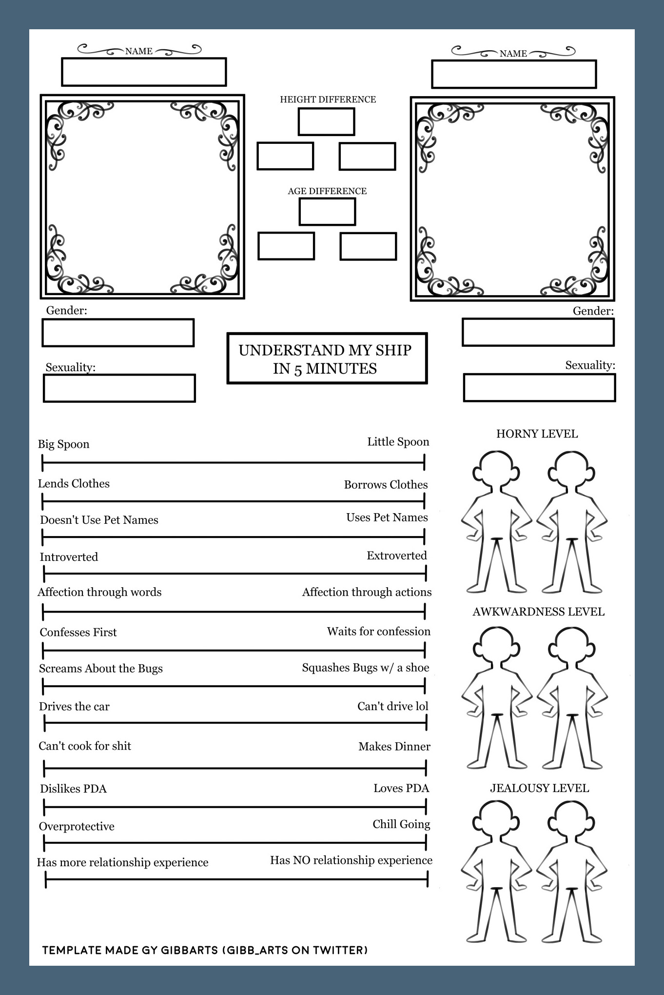
If you’re a maritime enthusiast or love exploring open waters, ship charts are an essential tool. Ship charts, also known as nautical charts, are maps specifically designed for navigation on the sea. These charts provide crucial information on water depths, tides, currents, landmarks, and other navigational aids to ensure safe passage. In this comprehensive guide, we will delve into the world of ship charts, exploring their importance, key elements, how to use them effectively, and tips for maximizing their utility.
What are Ship Charts?
Ship charts are specialized maps used for navigation at sea. Unlike traditional maps, ship charts are designed with a focus on marine navigation, providing detailed information about water bodies, coastlines, ports, and other features essential for safe sailing. These charts are created by hydrographic offices around the world and are continuously updated to reflect changes in the marine environment. Ship charts are indispensable tools for sailors, fishermen, marine researchers, and anyone else venturing into the vastness of the ocean.
Why are Ship Charts Important?
Ship charts play a crucial role in ensuring the safety and efficiency of maritime navigation. By providing accurate and up-to-date information about the marine environment, ship charts help sailors navigate challenging waters, avoid hazards, and reach their destinations safely. Without ship charts, sailors would be navigating blind, putting themselves and their vessels at risk of accidents and mishaps. Whether you’re a recreational boater or a professional mariner, having access to reliable ship charts is essential for a successful voyage.
Key Elements of Ship Charts
Ship charts contain a wealth of information that is vital for safe navigation. Some of the key elements you will find on a typical ship chart include:
- Water Depths: Indicated by depth contours, soundings, and spot soundings, water depths help sailors avoid running aground.
- Tidal Information: Shows the predicted times and heights of high and low tides, crucial for planning navigation around tidal currents.
- Navigation Aids: Includes buoys, beacons, lighthouses, and other markers that help sailors identify their position and navigate safely.
- Landmarks: Features such as islands, capes, and prominent buildings serve as reference points for navigation.
- Shoreline Details: Depicts coastlines, beaches, cliffs, and other coastal features that guide sailors along the shore.
- Chart Symbols: Symbols and abbreviations represent various navigational features and hazards on the chart.
- Scale and Orientation: Indicates the scale of the chart and its orientation relative to true north.
Examples
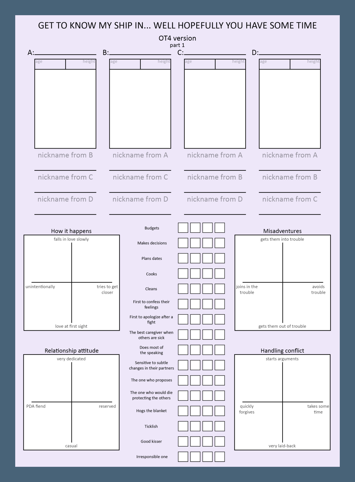
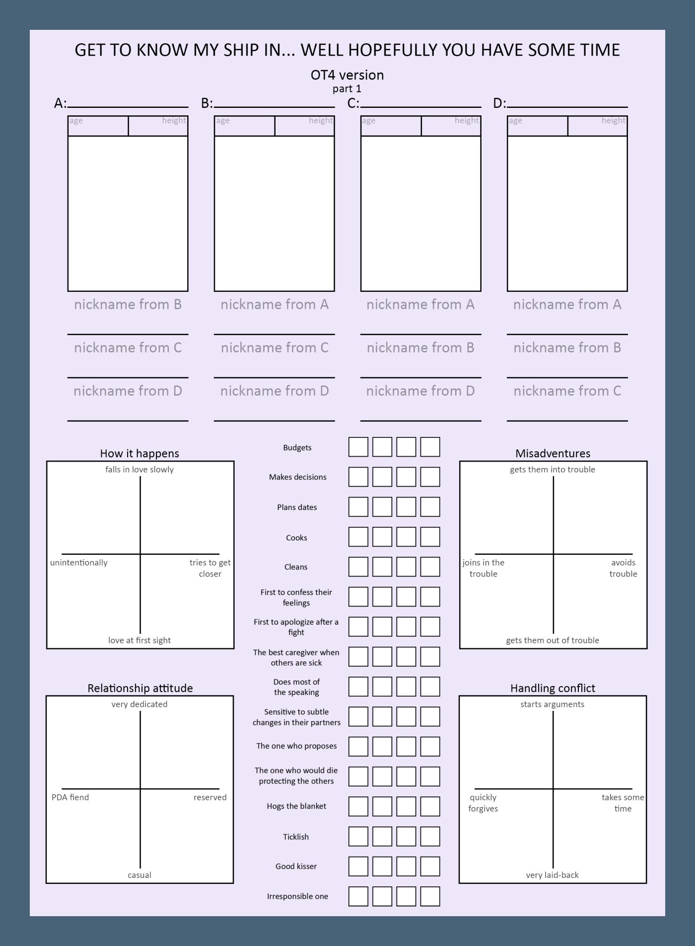
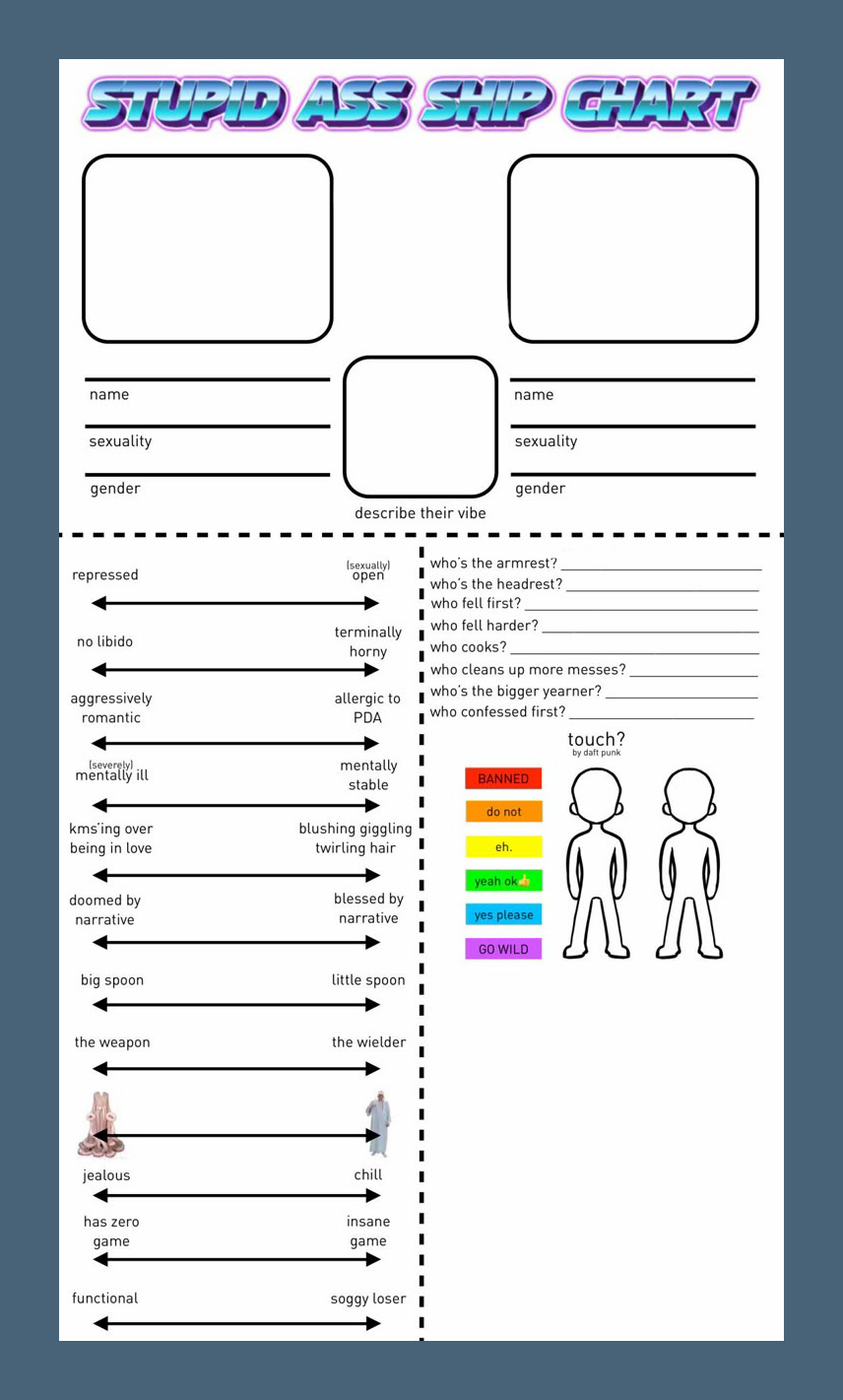
How to Read a Ship Chart
Reading a ship chart may seem daunting at first, but with some practice and understanding of key elements, you can navigate the waters like a pro. Here are some steps to help you read a ship chart effectively:
1. Understand the Legend: Familiarize yourself with the symbols, colors, and abbreviations used on the chart by referencing the legend.
2. Identify Your Position: Use GPS, visual landmarks, and navigation aids to pinpoint your location on the chart.
3. Plan Your Route: Plot a course by connecting waypoints and avoiding hazards such as shallow waters or submerged rocks.
4. Consider Tidal Effects: Take into account tidal currents and tidal heights when planning your voyage to optimize efficiency.
5. Stay Updated: Regularly check for chart corrections and updates to ensure you have the most current information for safe navigation.
Tips for Using Ship Charts
To make the most of your ship charts and enhance your navigation experience, consider the following tips:
1. Plan Ahead: Always plan your route and familiarize yourself with the chart before setting sail.
2. Use Multiple Charts: Utilize multiple charts to cross-reference information and gain a comprehensive understanding of the area.
3. Practice Navigation Skills: Sharpen your navigation skills by regularly using ship charts and honing your ability to read them accurately.
4. Stay Alert: Keep a lookout for changes in weather, water conditions, and other factors that may affect your navigation.
5. Seek Professional Advice: When in doubt or navigating unfamiliar waters, seek advice from experienced sailors or maritime authorities.
Conclusion
Ship charts are indispensable tools for safe and efficient navigation on the open seas. By understanding the key elements of ship charts, learning how to read them effectively, and following best practices for their use, you can enhance your maritime adventures and ensure a successful voyage. Whether you’re a seasoned sailor or a novice boater, ship charts are your trusted companions for exploring the vast blue expanse of the ocean. Happy sailing!
Ship Chart Template – Download

- Tenancy Lease Agreement Template (Word) - September 15, 2026
- Free Printable Ship Chart Template - September 15, 2026
- Free Printable Statement of Work Template - September 15, 2026
